The heritage projectPlacesWater landscape
Aguris and the Water Landscape of Rarh Bengal
Sourced from the Aguri Heritage project.
https://aguri-heritage.in/water-landscape
Original project material: all rights reserved. Other material retains its own rights. Copyright & reuse
Rivers, canals and the history of Aguri settlement, cultivation and rural power in Rarh Bengal.
Last updated:
Cite this page
Aguri Heritage. “Aguris and the Water Landscape of Rarh Bengal.” Last updated: . https://aguri-heritage.in/water-landscape.
Citing this page does not grant permission to republish it. Copyright & reuse.
The history of the Aguris is closely connected with the work of making a living from land and water. Across Rarh Bengal, rivers fed fields, floods threatened crops, and waterways carried produce towards markets. Later, canals brought new possibilities to villages whose farming communities were already established.
The Aguris, also known as Ugra Kshatriyas, belonged to this wider rural world. Historians and village studies place substantial Aguri cultivators, landholders and merchants across Bardhaman and neighbouring districts. Their history makes most sense within a landscape of floodplains, embankments, smaller streams and irrigated fields, rather than along the banks of one river alone.[1][2][3][4]
The evidence points to an important sequence: established communities and landholding interests preceded the principal twentieth-century canal schemes. Irrigation then changed the opportunities available to cultivators. How much particular families gained depended on their land, access to water and place in the rural economy; prosperity was never uniform across the community.
A country of rivers and fields
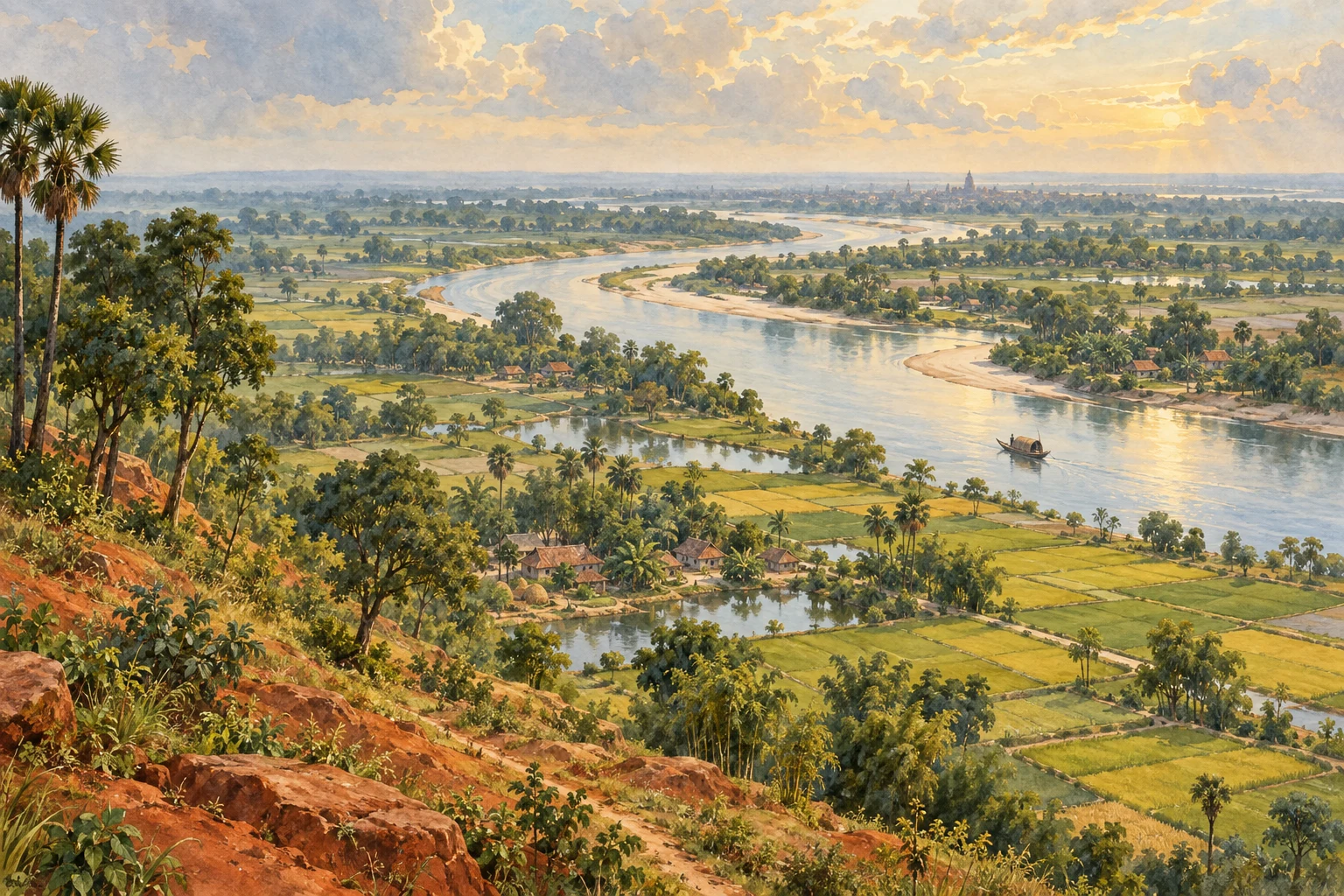
Rarh is often pictured as a country of red earth. Eastern Bardhaman also contains fertile alluvial plains, shaped by rivers descending from the west and joining the Bhagirathi–Hooghly system. The Ajay and Damodar provide major bearings, but the district’s official geography also names the Kunur, Banka, Khari, Behula and Gangur. Smaller channels, khals and bils—watercourses and low-lying wetlands—complete the picture.[5]
A village need not stand beside today’s main river to belong to a river-shaped economy. Fields may lie beside an older channel, receive water through a local cut, or occupy soil deposited by earlier floods. A modern map is therefore a starting point for understanding settlement. It cannot, by itself, show when a family arrived, how it acquired land or which stream watered its fields a century ago.
For Aguri history, this wider view brings several kinds of evidence together: accounts of village landholding, family enterprise, markets and irrigation. Their geographical overlap is revealing, although it does not establish a single migration route or a community-wide programme of settlement.
The Ajay–Kunur country
The Kunur joins the Ajay near Mangalkot. Together, these rivers help orient the Ausgram–Mangalkot countryside, where Kshiragram provides one of the clearest village studies of Aguri society.[6]
Anthropologist Masahiko Togawa’s research at Kshiragram in 1994–95 records Jana and Suta Aguri households and the Ugra Kshatriya lineages involved in village worship, landholding and the Jogadya temple. His account connects the organisation of cultivation with the social life of the village: fields, temple lands and household standing belonged to an interrelated local history.[3]
Togawa also records ties beyond Kshiragram. Aguris from Eruyar, Nasigram, Kusumgram, Kurmun, Kaligram and Majigram were named in the temple’s ritual invitations. A Raychaudhuri lineage account traces movement from pargana Dhenya to Eruyar, then Kshiragram and Chaitanyapur during the eighteenth century. This is evidence of particular connections and a reported family history, rather than a chronology for the whole community.[3]
The study gives firm ground for placing Aguri village life in this part of eastern Rarh. Describing the entire Ajay–Kunur basin as an ancient Aguri settlement corridor goes further than the evidence currently allows. The village record is strongest where people, land and dates can be identified together.
Living with the Damodar
Water could nourish crops and destroy them. In the Damodar country, embankments, flood damage and the need for irrigation made control over water a recurring concern. The river’s agricultural importance extended across its floodplain and former channels, including lands south of the main course.[1]
John R. McLane’s history of eighteenth-century Bengal describes groups of dominant peasants in western Bengal villages, commonly including Aguris, Kaibartas and Sadgops. They exercised influence over the use of land and the organisation of cultivation. This helps explain the background to the later prominence of substantial landholders known as jotedars.[1]
A jote was a landholding; the social and economic position of its holder varied across places and periods. In the villages discussed here, the term jotedar often refers to a substantial holder whose influence reached beyond the fields he owned or controlled. Access to tenants, credit, grain and local authority could reinforce one another.[1][2]
The connection between Aguri rural power and the Damodar is therefore best understood through the agricultural landscape: land that could be cultivated, protected, drained or irrigated. The river was part of that history, alongside the labour of cultivators and the arrangements through which land and produce were controlled.
South of the river
Arild Engelsen Ruud’s fieldwork in Raina I block places this relationship in the Dakshin Damodar region. In the village he calls Gopinathpur, Aguris were the dominant landholding caste when he studied it in 1992–93. His tables and accounts of village leadership connect landownership with economic and political influence.[4]
Gopinathpur and the neighbouring Udaynala are deliberately disguised names. They locate the study within Raina’s social world, but they should not be pinned to actual villages on a map. That distinction matters when reading ethnography as local history.[4]
Anguna offers a different, named example. Achintya Kumar Dutta identifies the Hazras of Anguna, in the trans-Damodar region, as a family whose prosperity included rice milling and coal mining. Their story shows how wealth could move between agriculture, commerce and industry. It does not establish that every household in Anguna shared that prosperity, or that irrigation alone produced it.[2]
Smaller rivers and local landscapes
The Khari and neighbouring eastern Bardhaman waterways invite a closer look at the country around Bhatar, Manteswar and Memari. Dutta records Ugra Kshatriya grain merchants in Manteshwar, Memari, Katwa, Guskara, Nadanghat and Bardhaman town. This places important commercial centres within the district’s agricultural landscape, although a merchant’s address does not prove where an earlier generation settled or which river watered its land.[2][5]
Belenda, in the Manteswar area, can be understood within this wider alluvial countryside. Assigning particular Belenda holdings to the Khari or to a historical channel requires older maps and land records. The broad regional setting is useful; a precise river-to-family connection remains an interpretation to be tested.
Nasigram similarly brings village history and water history into the same frame. Its Aguri connection is documented in Togawa’s account of ritual relationships. That evidence does not, on its own, tell us how much village land received canal water or when irrigation changed. Modern irrigation figures need their own dated official source.[3]
The Banka, Behula and Gangur also belong in this account. Their presence reminds us how much of the district’s water landscape lies between the major rivers. A specifically Banka-centred Aguri settlement pattern, or a Behula–Gangur route of Aguri migration, is not established by the material considered here.[5]
From fields to markets
The Bhagirathi side of the district brings transport and exchange into view. Katwa and Kalna linked the inland countryside to a major waterway. The historical relationship between fields and markets helps explain why the study of Aguri settlement also needs a history of grain trading.[6]
Dutta’s account of the Ugra Kshatriya merchants is especially useful here. He describes commercial activity in several towns and the reinvestment of profits in agricultural land. The Panjas of Sathinandi provide a specific example: income from commissioned sales of agricultural produce supported further land purchases. Other prosperous families acquired rent-collecting interests as well.[2]
The movement of wealth could thus run in both directions. Land supplied produce and income; trade could finance the purchase of more land. Railways and new market centres later widened these opportunities. A history organised only around riverbank settlement would miss these links between villages, towns and businesses.[2]
Three eras of canals
Artificial waterways were added to an older rural landscape. Three phases help explain the scale of change, although they did not affect every village at the same time.
The Eden Canal
The Eden Canal, opened in 1881, joined concerns about stagnant water and public health with the provision of irrigation. Its history belongs to a period when engineers attempted to alter drainage and carry river water through the Burdwan countryside. Canals could reuse or connect existing channels as well as cut new courses.[6]
The Damodar canal schemes
The Damodar Canal Project began in 1926–27, and its revenue account opened in 1933–34. These works extended organised irrigation before the DVC era, bringing water supply and canal administration into a new phase. They form a separate stage in the history of water management, between the Eden Canal and the larger post-independence network.[7]
The DVC era
The Damodar Valley Corporation was established in 1948. The Durgapur Barrage and its canal network subsequently became central to irrigation across much of the region. The West Bengal Irrigation and Waterways Department records irrigation for kharif and rabi crops, later extended to summer paddy.[8]
That chronology changes how the canals should be understood in Aguri history. The works reached a countryside in which Aguri landholding and enterprise already had a history. They could improve the prospects of existing cultivation and alter the value of access to water; they did not create the community’s entire settlement geography.
Water, land and unequal opportunity
More dependable irrigation could support agricultural output and increase the opportunities available to those who controlled land. It is reasonable to ask whether established Aguri jotedars benefited when their holdings fell within canal command areas—the land an irrigation system was designed to serve.
This is a historical explanation to investigate village by village. It should not become an automatic chain in which canals necessarily brought wealth to all Aguris. Tenants, labourers, small cultivators and substantial landholders occupied different positions. Water supply, the location of a field, cultivation costs and access to markets all shaped what irrigation could mean for a household.
The strongest conclusion is that rivers, landholding and commerce formed an interconnected rural history, which later canals reshaped. The available village studies and family histories show several ways of participating in that economy. They do not demonstrate a single community-wide movement along river valleys, nor a military settlement programme whose boundaries can be read from a drainage map.
Reading the water landscape
Seen together, Kshiragram, the Raina villages and Anguna bring the Aguri past down to a human scale: households with fields, families with businesses, neighbours with unequal influence, and communities maintaining relationships across villages. The smaller rivers and the great canal works help explain the setting in which those lives unfolded.
The lasting insight is that water and settlement have different chronologies. The farming communities were already there; later irrigation changed the possibilities around them. To read the Aguri history of Rarh Bengal through water is to follow those changes while keeping particular places, people and sources in view.
Notes & sources
- John R. McLane, Land and Local Kingship in Eighteenth-Century Bengal (1993). Read directly from the full Cambridge PDF (October 2026): pp. 54–55, 117–118, 125–138, 157–160, 183–185, 192, 263 and 271. McLane uses the Chandimangal, dated 1589 and quoted through Dimock and Inden’s translation, to treat the Aguris as older than the Khatris in Burdwan; this website records that reading and its limits on the Origins page. McLane does not connect the Aguris with the Raj’s naqdi (cash-paid) army or any other troops. Source details
- Achintya Kumar Dutta, “Prosperity, Dominance, and Social Mobility: Emergence of a Mobile Caste in Colonial Southwest Bengal” (2023), pp. 297–324. Complete chapter, including endnotes and references, read directly in the supplied book. Page references use its printed pagination. Origin hypotheses remain attributed to the author. Link opens the publisher’s book record. Source details
- Masahiko Togawa, An Abode of the Goddess: Kingship, Caste and Sacrificial Organization in a Bengal Village (2006). Full book read. The study describes one village in 1994–95 and the author’s reconstruction of earlier practice; it is not a survey of all Aguri settlements. Source details
- Arild Engelsen Ruud, Poetics of Village Politics: The Making of West Bengal’s Rural Communism (2003). Chapters 2–5 read in the supplied scan, with all Aguri passages located by full-text search. Village and personal names in the book are the author’s; the villages are deliberately disguised and should not be identified with real places. Source details
- Purba Bardhaman district: Geography. Official page rechecked 11 October 2026. Used for physical geography and present-day orientation, not for caste-specific settlement chronology. Source details
- J. C. K. Peterson, Bengal District Gazetteers: Burdwan (1910). Relevant passages read directly in the digitised gazetteer on 11 October 2026. Sanitary explanations are treated as the colonial administration’s stated intentions, not as modern medical conclusions. The source does not establish caste-specific settlement routes. Source details
- Bengal Appropriation Accounts 1934–35 and the Audit Report 1936. Indexed passage from the official audit archive checked on 11 October 2026; the full report was not reviewed. Used narrowly for the project’s start and revenue-account dates. Source details
- West Bengal Irrigation & Waterways Department: Barrage and Irrigation System of DVC. Search-indexed text from the official page checked on 11 October 2026; direct access timed out during verification. Used only for the institutional chronology and stated irrigation functions. Source details
Page views: